Arroyo & River Corridor Crossings
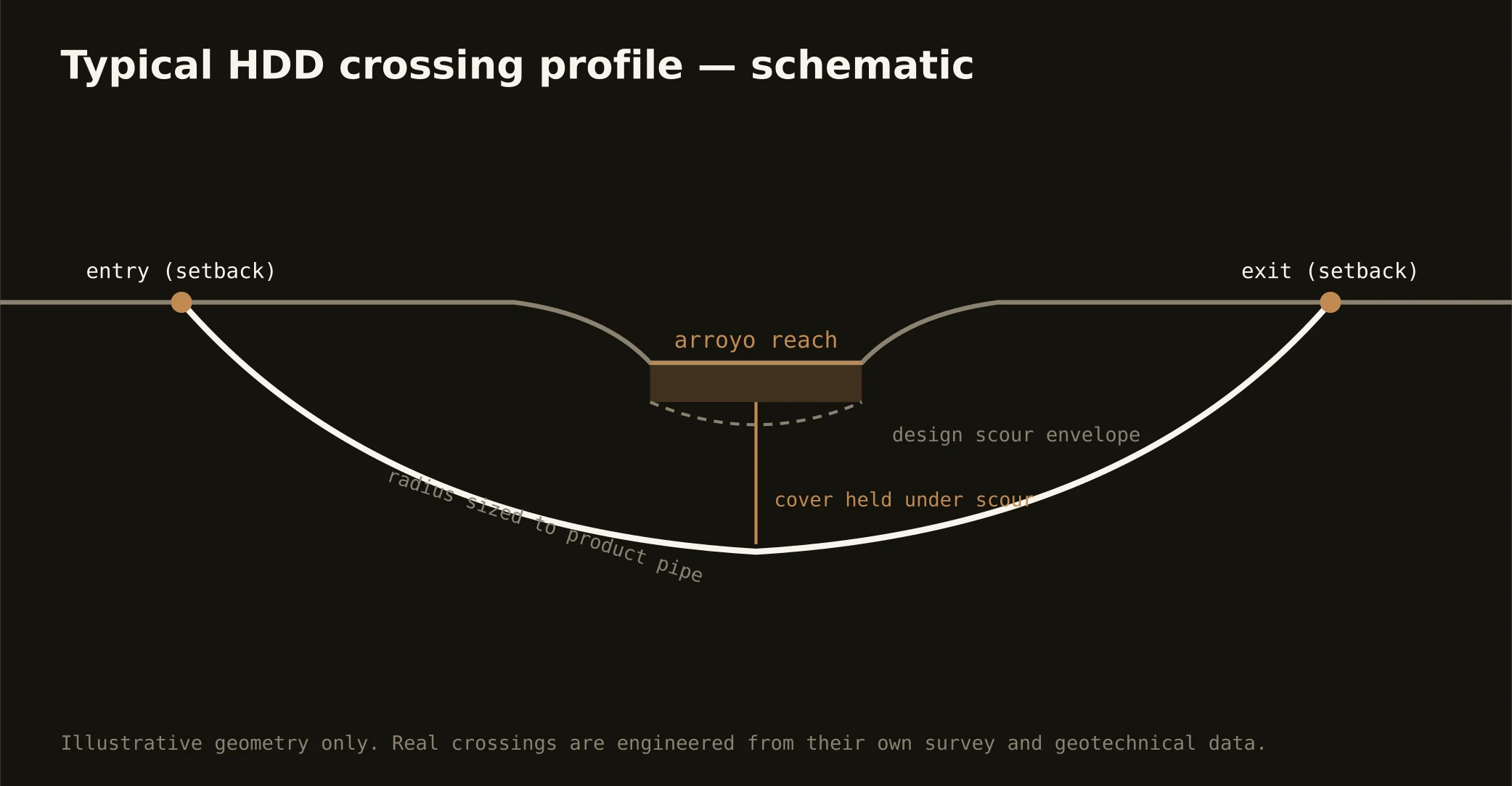
The arroyos are Laredo's hidden infrastructure: Zacate and Chacon creeks and the smaller cuts thread the entire city, dry-bedded most of the year and violently alive when the storms arrive — flash-flood channels the city's drainage engineering takes with complete seriousness. Crossing them is the signature Gateway bore: profiles set below beds that scour hard when they run, entry and exit back from incised banks with their own stability logic, staging that never trusts a dry forecast, and the city's drainage interests reviewing wherever its improvements apply. It's flood-country discipline in a semi-arid wrapper — the paradox every Laredoan already understands.
The river corridor scales the doctrine to the border: alignments approaching the Rio Grande enter an internationally managed world — boundary-water machinery on the river itself, federal corridor coordination near the line, the port district's and bridge systems' operations at the crossings, and the city's intake reaches carrying supply-water protection at its tightest. Corridor-approach work is coordination-dense by design, and our quotes map the stack for the actual reach rather than gesturing at it. Crossings of the river itself run as the major international engineering they are — framed honestly at the desk, with the two-nation machinery named from the first conversation.
Fluid discipline runs at sole-source grade throughout: containment staged on ground that drains to the city's own faucets, conservative pressures, monitored returns, and the response plan written before the pilot turns.