Directional Drilling in Laredo
More U.S.–Mexico trade crosses here than anywhere else on the continent — the Western Hemisphere's largest inland port — in a brush-country city cut by arroyos, drinking from the river that draws the border, atop the gateway to the Eagle Ford. Gateway City HDD is trade-corridor drilling in arroyo country — and it's ours.
HDD is the whole job here
Laredo's ground is brush country cut to pieces: gravel-capped uplands — old high terraces armored with caliche-bound gravels — over the Eocene's alternating sandstones and clays, all of it dissected by the arroyos that give the city its topography: Zacate and Chacon creeks and their kin, dry most days, torrential when the storms come, draining everything to the Rio Grande. Drilling reads the dissection: upland shots work the gravel cap's cobbly armor and the sandstone-and-clay layers beneath — hard-layer honesty per reach — while arroyo-adjacent alignments add flash-flood discipline, incised-bank geometry, and the city's drainage interests to the plan. Arroyo-country quoting names the terrain first, because the map here is written in cuts.
The market is the continent's front door: the Western Hemisphere's largest inland port moves a staggering share of U.S.–Mexico trade across the World Trade Bridge and its siblings, and the logistics economy that follows — warehouse districts, truck-transfer yards, customs-house campuses, and the I-35 corridor beginning its national run — builds utility demand at freight tempo. Rail crosses the border here too, on bridges that carry international main-line traffic, and east of the city Webb County turns to energy country: the Eagle Ford's gas fairway spreads pads, gathering systems, and operator corridors across the ranch miles, making records-and-coordination work a standing county scope line. Los Dos Laredos live as one working region across the river, and boundary-water machinery joins the picture wherever alignments approach the international corridor — noted plainly, coordinated properly.
And the river is more than the line: the Rio Grande is the city's water supply, full stop — no aquifer backup at municipal scale — which makes source-water stewardship the local fluid ethic and drought seriousness a civic instinct. Behind everything sits the network desk: 50,000+ boring calls answered, ~10,000 crossings quoted, 2,000+ drilled, pricing the Gateway City with the arroyos and the port's clock already in the math.
Fiber-Optic Boring
Logistics and customs-campus duct, border-trade backhaul, and city FTTH.
Electrical Duct Boring
Feeders for warehouse districts, bridge systems, and the energy country east.
Water & Force-Main Boring
Pressure pipe for a city whose entire supply is the river itself.
Arroyo & River Corridor Crossings
The signature Gateway bore: the cuts that drain the city and the corridor they drain to.
Road & Highway Crossings
I-35's first miles, the loops, and the ranch roads east — terrain-named, freight-aware.
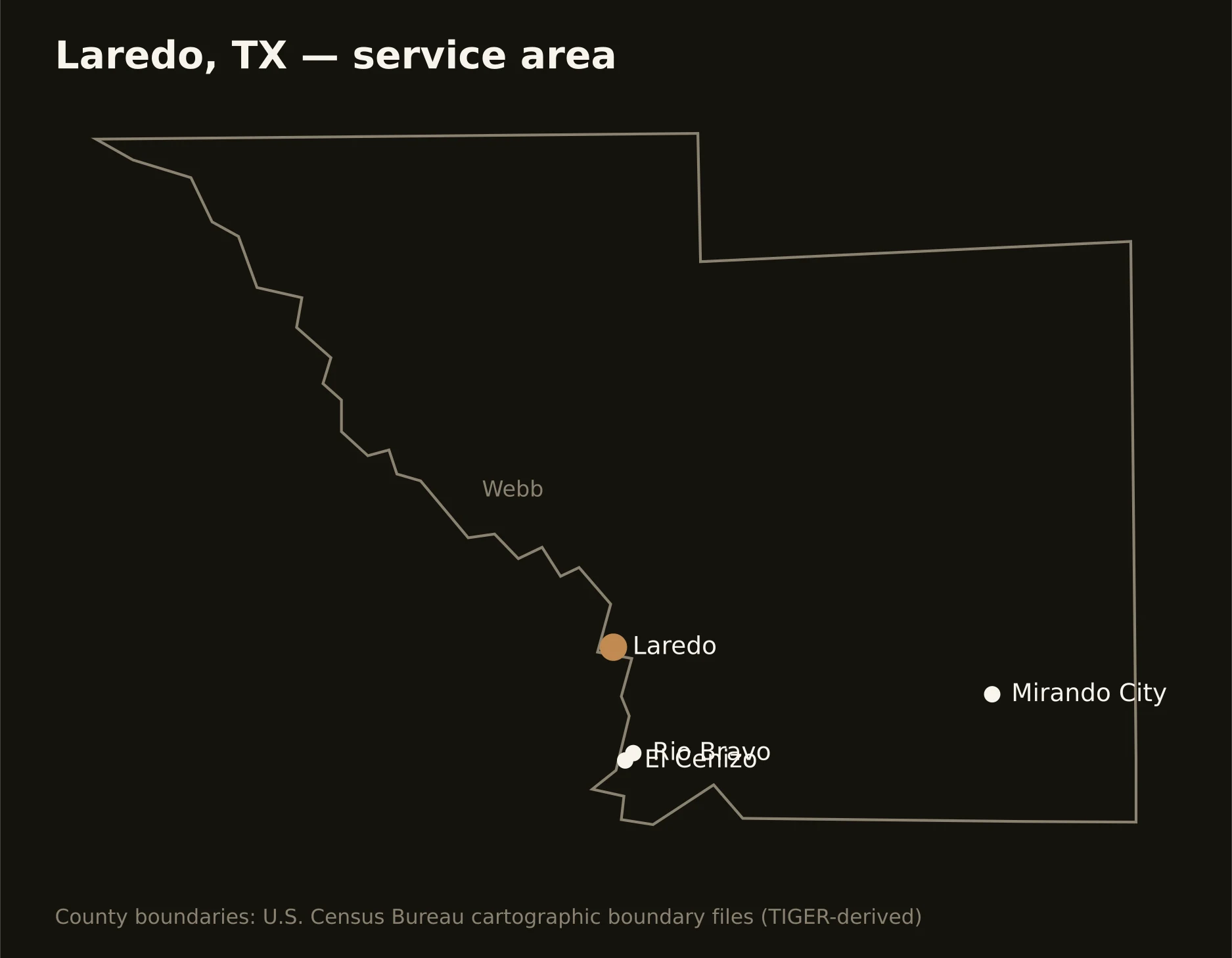
One vast county at the gateway — Laredo and its trade corridors on the river, Rio Bravo and El Cenizo downstream, and Webb's ranch-and-energy miles running east into the Eagle Ford's gas country. Full county list on the service-area page.